
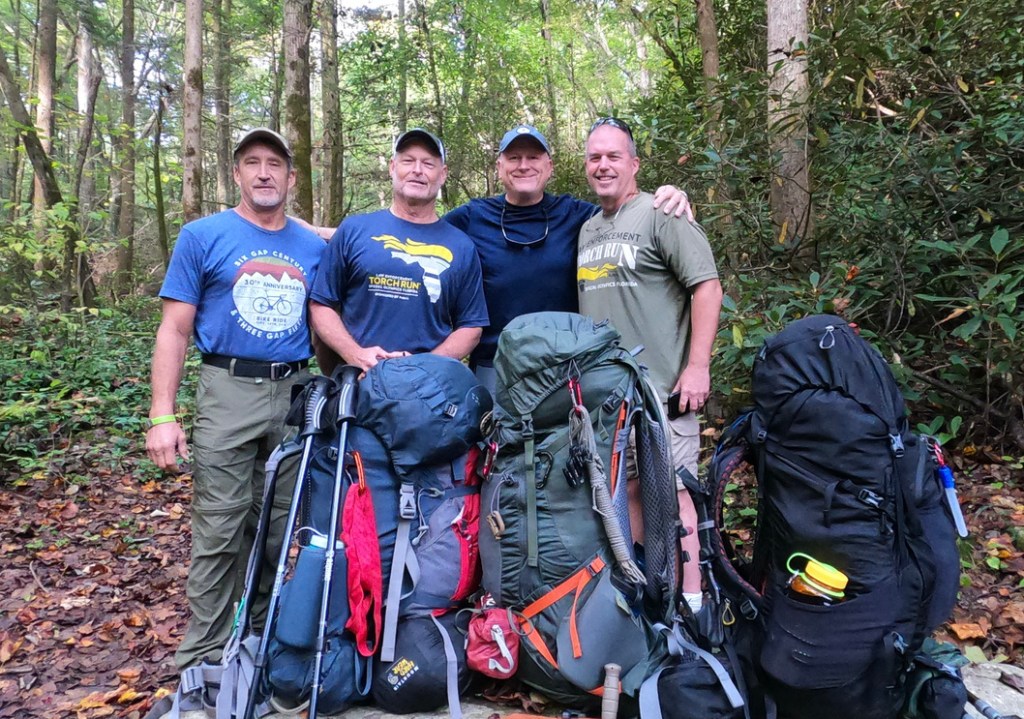
On our never ending quest north as section hikers on the Appalachian Trail, we began our October journey at the Ranger Station near Pigeon River on the Chestnut Creek Trail. Having spent the previous night at the Iron Horse Inn, we met our shuttle driver Jason mid-morning and he gave us a ride to the Big Creek Ranger Station. Once off-loaded, we began our two mile climb up the Chestnut Creek Trail which is an approach trail leading to the Appalachian Trail.

Chestnut Creek Trail was an arduous two mile hike uphill towards the AT. Last year, when we ventured downhill, we had to be careful as a tropical storm had pushed thru the night before leaving standing water and slick roots and rocks underfoot! Our climb uphill was a preview of what was to come for the next five days!
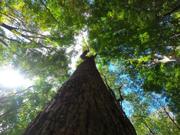
After reaching the AT, we turned north towards Davenport Gap. The cool October air had encouraged the leaves to begin to change colors and to fall from the trees. It was a beautiful hike and having hiked the AT numerous times, we saw more old growth timber along the trail than on any other time in recent memory. We crossed the full and heavily flowing Pigeon River as we made our way to our first stop which was the Standing Bear Farm Hostel.

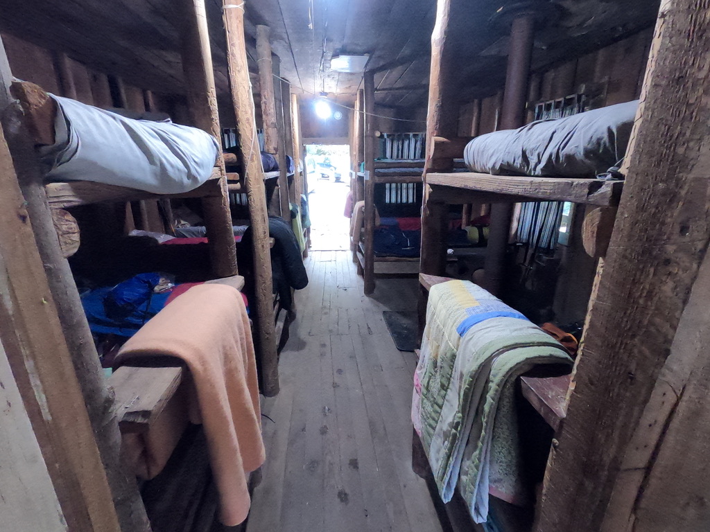
The Standing Bear Farm Hostel was a welcome sight at the end of our first day! Being hammock campers, we elected to spend the night in the bunkhouse as the hammock site was on the side of a steep mountain in heavy foliage. The Hostel afforded bunks, linen, a privy, port-a-lets, a shower with hot water, a kitchen and store, fire pit and several dogs forever looking for a handout! The cost for staying in the bunkhouse was $25.
After a good night’s sleep in the bunkhouse, we set out heading towards Groundhog Creek Shelter. We had seen signs in the area warning of bear activity and stating that the area around Groundhog Creek was closed to camping for four miles in each direction of the shelter. We had since been told that the shelter was open. However, we encountered a lot of bear scat along the trail heading towards this shelter which made it obvious that they weren’t kidding, there were a LOT of bears in the area! We decided to stay there and we did. We strung out hammocks up behind the shelter and one fellow hiker decided to stay in the shelter that night. After dinner, we strung our food up on the bear cables near the shelter for safe keeping!


The night at Groundhog Creek was uneventful although the clouds moved in during the night and left the area very wet. We had breakfast, broke camp and were on our way. Today would lead us to the Roaring Fork Shelter by way of a beautiful mountain top known as Max Patch. The day was clear and warm and perfect for walking through the woods. Again, we saw some huge old growth timber today. As we approached Max Patch, we encountered a “trail angel” set up on the Max Patch Road. “Fresh Ground” and his “Leap Frog Cafe” was cooking chicken & rice and grilled cheese sandwiches and two of our crew could not resist! Needless to say, we heard about this wonderful meal throughout the remainder of the trip! It goes without saying that if you are lucky enough to encounter “Fresh Ground”, please do yourself a favor and enjoy some of his trailside gourmet fare. You won’t be disappointed!

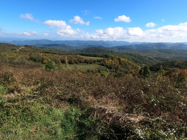
We continued our trek up Max Patch mountain and were in awe of the beauty of the views from on top. The day was clear and you could see forever in all directions! There was a park and parking lot at the base of the mountain which allowed park goers to hike to the top of the mountain for a view! We had seen more people in this area than any other area on the trip. Rumor had it that people had been camping on the mountaintop and doing so much damage that they now prohibit camping there.

After descending Max Patch, we finished our day by walking to the Roaring Fork Shelter! The Shelter was filling fast as daylight began to fade. We quickly hung our hammocks and watered up at the creek crossing down below. We cooked dinner and called it a day.


After breakfast and breaking camp, we began the longest day of the trip, an 11 mile trek to Garenflo Gap. Garenflo is not a designated camping area but a parking lot. However, we were told we could camp in the wooded area above the parking lot and that’s what we counted on. Today was uneventful other than focusing on getting to Garenflo before dark.
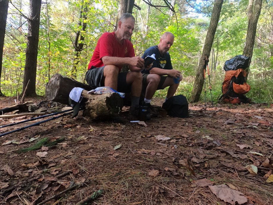
Lawrence and Jay study their trail maps during a water break.


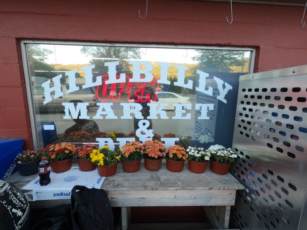
Arriving at Garenflo Gap, we found a camping area just above the parking lot. Camp was set up and dinner made. Due to a lack of bear cables, we used parachute cord to secure our food bags to a overhanging limb. Night was quiet except for the hoot of a distant Barred Owl. After breakfast the next morning and only 7 miles left to go, we were excited and smelling the barn. This last day involved some climbing but more downhill than up. As we approached the town of Hot Springs, NC we could hear road traffic and see rooftops through the tree tops below us. Upon arrival at Hot Springs, we headed to the Hillbilly Market for sub sandwiches. This was probably the best sub sandwich I have ever had!
After lunch, we meandered down to the Iron Horse Hotel and got our rooms and took a hot shower! The ladies at the Hotel agreed to do our dirty laundry and we spent the afternoon exploring the town and resting. Hot Springs is a very quaint little town. There is an outfitter next to the Hotel that has just about everything one needs to hike the Appalachian Trail.


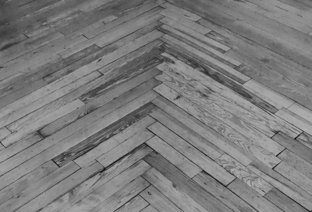
The Iron Horse is an old hotel with a railroad theme. The rooms are small and clean and the hallways and stairwell took us back to yesterday!


After a delicious dinner and live entertainment at the Iron Horse, we turned in early. The weather was changing and rain was forecast for the next day. We had lucked out during the week as we never got rained on. About 3am, I was awakened by the sound of a distant mountain train. The train soon passed near the hotel and I couldn’t help but think of what it must be like to be the engineer on a mountain train at night!


6am came early and we packed up and headed home. Next year we will start at Hot Springs, NC and continue our venture north!
All photos were taken with a GoPro Hero8 Black. Hope you enjoyed this blog. Any questions can be directed to Dave Ferrell at ferrelld85@gmail.com.
